
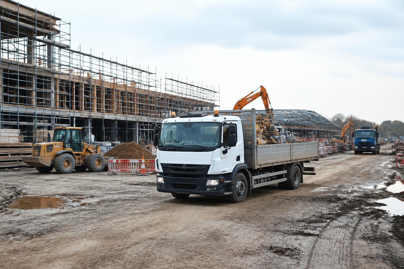
Construction work creates more blind spots than most transport operations. Vehicles move between yards, quarries, customer sites and short term compounds. Drivers switch between road haulage, plant delivery and waiting time on site. Trailers and equipment are left in places where the office has little visibility until someone phones in. If your systems for tracking, Tachograph, cameras and reporting all sit separately, the transport team spends too much of the day stitching together a picture after the event.
Good construction fleet management software should reduce that gap. We need live location, driver and vehicle status, trailer and asset visibility, and a usable view of compliance and safety in one place. For UK operators, that matters not only for planning and utilisation, but also for road risk, driver hours, remote downloads and proving what happened when a vehicle reached a live site or left one.
What construction fleet software needs to solve
Construction fleets rarely run in neat depot to depot patterns. Even when the vehicles are mainly HGV units, the operation often includes vans, tippers, low loaders, trailers, plant, generators, bowsers and other non powered assets. Some jobs are booked in advance, others change during the day. Site access windows move. Waiting time builds up. Drivers call in with one version of events, customers give another, and the office still needs a reliable record.
That creates a few recurring problems.
First, there is uncertainty over where equipment actually is. A unit may be where the planner expects, but the trailer carrying plant may be somewhere else entirely. A welfare unit or compressor may have been moved internally on a site and not recorded. For mixed fleets, this is where a platform needs to cover vehicles and assets together, not as separate products with separate logins.
Second, there is weak visibility of job progress. A construction delivery often is not just "arrived" or "not arrived". The transport office needs to know whether the vehicle is en route, queued outside, on site, stationary at the point of delivery, or already outbound. Basic dots on a map do not answer that on their own. You need mapping, geofences, time stamps and historic journey views that stand up when a customer disputes timings.
Third, there is the compliance picture. UK operators of in scope vehicles need a clear view of Tachograph activity, remote downloads, missing driver cards and signs of issues before they become a problem. Construction work can blur the line between transport and site activity, but the legal obligations on drivers' hours and working time do not disappear because a vehicle is waiting to be tipped or a machine is being unloaded. Where rules differ between the UK and the EU generally, UK operators need to work to the GB framework that applies to their licence and operation, while still managing EU rules where cross border journeys or relevant scope bring those in.
Fourth, there is incident visibility. Construction traffic deals with vulnerable road users, tight entrances, reversing, damage claims and disputed site conditions. Without camera footage linked to vehicle movements, managers are often making decisions from partial information.
Finally, there is admin sprawl. One spreadsheet for servicing, another for trailer allocation, one portal for tracking, another for cameras, another for Tachograph, plus manual phone chasing. The result is not only wasted time, but also delays in spotting exceptions. We see this often when operators come to us after trying to manage growth with disconnected tools. If that sounds familiar, our guide to fleet software that cuts spreadsheet chasing looks at the same problem from the admin side.
Which features matter most on live construction work
On live construction work, the most useful functions are the ones that support decisions in the middle of the day, not just end of month reporting.
Live vehicle tracking is the foundation. We need current position, ignition status, speed, route history and site arrival and departure times. For construction fleets, geofencing matters because it turns a vague status update into a record. A geofence around a quarry, customer site, compound or yard gives us an objective arrival, dwell and exit timeline.
Trailer and asset tracking is just as important where the operation moves plant or specialist equipment. If the tractor unit is visible but the trailer is not, there is still a blind spot. The software should let us see trailers and non powered assets on the same map and in the same reporting environment as powered vehicles.
Driver visibility must go beyond vehicle position. For HGV operations, we need a practical view of driver assignment, activity and exceptions. That does not mean drowning the office in raw data. It means showing the information that actually affects planning and compliance, such as who is driving what, whether downloads have completed, and whether there are signs of approaching issues around driver hours.
Remote Tachograph downloads are a core requirement for in scope fleets. The basic test is simple. Can we collect the data without pulling vehicles back unnecessarily or relying on ad hoc manual routines? A platform should support scheduled downloads, exception visibility and records that are easy to review. It should also fit the way mixed fleets work, where not every vehicle is in Tachograph scope but the office still needs one operating view.
Camera integration matters more on construction work than many buyers first assume. Smart dashcams should not sit in a separate world from tracking. We want footage connected to journeys, events and vehicle records so that a harsh event, complaint or collision can be reviewed quickly. When a vehicle is entering a constrained site or reversing near plant and personnel, camera evidence can resolve questions that location data alone cannot.
Hardware choice matters too. Some operators want a straightforward rollout with Fleetalyse-ready trackers. Others already standardise on Teltonika or need specific inputs and installation options for specialist vehicles. For construction fleets, that flexibility is useful because the hardware estate can include everything from road going units to equipment that needs a simpler power and reporting setup. Inputs for PTO, beacon use, door status or other operational signals can also be relevant, and on some vehicles CAN data helps add context around usage and behaviour.
Usability is the final feature that is often underestimated. A transport office under pressure will not keep switching screens to find one answer. The platform needs to make sense to planners, compliance staff and managers during a busy day. That means clear map views, sensible filters, fast vehicle search and reports that answer operational questions without exporting everything to a spreadsheet first.
How GPS, Tachograph and cameras work together
Used separately, GPS, Tachograph and cameras each solve only part of the problem. Used together, they give us a much better operating picture.
GPS tells us where the vehicle is, where it has been and how it moved between points. On construction work, that helps with ETA management, route review, geofence based site records and identifying unnecessary delay. But GPS on its own does not tell us enough about legal driving activity or what happened in an incident.
Tachograph data fills the compliance gap. It shows driver activity and supports monitoring of driver hours, breaks and downloads. For UK operators, that is central to transport compliance. In construction, where jobs can involve queueing, loading, unloading and long periods on customer premises, this matters because the office needs to understand not just where a vehicle sat, but what that meant for the driver's day and what can be planned next.
Smart dashcams add the visual layer. If a vehicle receives a complaint for speeding through a village near a site, if there is an allegation of contact damage on a narrow access road, or if a driver reports unsafe site conditions, footage gives context that location and activity records cannot. The best operational result comes when that footage is easy to retrieve against the same vehicle timeline the office is already using.
In practice, the three together improve decisions in several ways.
A planner can see that a vehicle is still inside a geofenced site, check that the delay is real rather than assumed, and avoid assigning the next movement too early. A compliance manager can confirm that remote downloads have completed and spot exceptions without waiting for the vehicle to return. A transport manager reviewing a complaint can compare route history, driver activity and camera events in one workflow instead of chasing three systems.
That joined up view is what we mean by Fleet insight. It is not a marketing extra. It is the practical benefit of seeing location, compliance and safety information in one platform. For operators comparing options, our article on choosing HGV fleet software that cuts compliance blind spots goes deeper into how that visibility affects everyday control.
What to check before choosing a platform
Before choosing a platform, it helps to assess it against your actual rollout, not a generic demo fleet.
Start with fleet mix. If you run HGV units, vans, trailers and site assets, check that the platform handles all of them cleanly. Some systems are strong on vehicle tracking but weak on trailers or non powered equipment. Others can track assets but do not present them well enough for day to day use.
Next, look at hardware options. We support operators who want Fleetalyse-ready trackers, those who want unlocked Teltonika devices, and those planning a more tailored installation. The right choice depends on whether you need a fast standard rollout, a hardware estate you can manage with more flexibility, or specific inputs for specialist applications. Ask what is required on each vehicle type, how installations are handled, and what happens if you need to add more units later.
Connectivity should be part of that conversation. Reliable IoT SIMs matter because the value of the platform depends on consistent data flow from vehicles and devices in the field. Construction work often involves remote areas, temporary compounds and changing routes, so coverage and resilience are not minor details.
Then check how the mapping works. A map should be more than a pinboard. You want usable history, sensible clustering, quick filtering and the ability to work with geofences. If the platform uses OpenStreetMap, look at how clearly roads, sites and asset positions display for the kinds of areas your fleet actually visits.
Reporting deserves careful scrutiny. Ask what reports are built in, how easy they are to schedule, and whether they answer transport questions without heavy manual editing. Useful reports include site dwell, utilisation, journey history, driver activity exceptions and asset movement. The point is not to collect more data. It is to reduce the time spent turning data into decisions.
Also test the day to day workflow. How many clicks does it take to find a vehicle, see its last movement, check whether a remote download has completed, and review a relevant camera event? Can different users see what they need without clutter? Can your office access the system through a straightforward Customer Portal and manage users without friction? If you are trialling a setup, even basic access such as a Tracker login should be easy enough that staff actually use it.
Commercial checks matter too. Confirm what is included, what is optional and how billing is handled. If online payments are part of the setup, a recognised route such as Stripe is easier for finance teams to work with. For UK businesses, make sure invoices show VAT correctly and that the contracting party is clear, in our case Fleeta Limited T/A Fleetalyse.
If you are at the shortlist stage, our guide on how fleet managers really shortlist tracking software is a useful companion to this checklist.
Where software saves time for transport teams
The time saving from construction fleet management software usually comes from fewer interruptions and fewer manual reconciliations, not from one dramatic change.
A transport operator saves time when they can answer "where is it?" without ringing three people. Live GPS and geofences reduce the back and forth over site arrivals, delays and departures. That matters most when several vehicles are feeding one project and timings keep moving during the day.
Fleet managers save time when remote Tachograph downloads happen routinely and exceptions are visible early. Instead of maintaining separate reminders and chasing missing data vehicle by vehicle, the team can work from one operational view. The same applies to driver hours oversight. We are not replacing formal compliance processes, but we are making the status easier to see before it becomes a scramble.
Camera integration saves time in incident handling. When a complaint, claim or near miss comes in, the office should be able to locate the vehicle movement and the relevant footage quickly. That shortens the path from report to review and reduces the amount of guesswork in between.
Mixed fleet operations also save time when trailers and assets are visible alongside vehicles. A planner does not need to maintain a separate whiteboard or spreadsheet just to know which trailer is on which site, or whether a tracked item has moved since yesterday.
Reporting is another steady gain. Transport teams often spend too long building routine reports from raw exports. A better platform reduces that admin by presenting the common views already needed for operations, customer queries and internal review. We cover more of that in our article on fleet software that cuts admin for UK operators.
The main point is practical. Construction work will always involve change, waiting time and site level uncertainty. Software cannot remove that. What it can do is remove avoidable blind spots, so the office sees vehicle location, compliance status and incident context soon enough to act on them. That is where Fleetalyse fits best, bringing GPS, Tachograph, Smart dashcams and reporting into one working platform for UK operators who need clearer control without adding another disconnected system.
What is construction fleet management software?
It is software used to track and manage commercial vehicles, drivers and related assets. In construction, it helps operators see where vehicles are, monitor activity, support compliance and reduce reliance on separate spreadsheets and systems.
Is it only for large HGV fleets?
No. It can suit HGV fleets, vans, trailers and mixed operations. Smaller operators often benefit from having tracking, compliance visibility and reporting in one system rather than juggling separate tools.
Why does Tachograph data matter in construction fleets?
Many construction operators still run road-going vehicles that must manage driver hours and compliance. Tachograph visibility helps transport teams spot issues earlier and keep records organised.
Can one platform cover vehicles and trailers?
Yes, if the system is built for mixed fleets. Buyers should check whether it can handle HGV, van, trailer and asset tracking together, with reporting that reflects how the fleet actually operates.
What should buyers ask on a demo?
Ask how the platform handles live GPS, reporting, Tachograph workflows, camera integration, hardware options and user access. It should be clear how the system fits daily transport operations, not just what features exist.