
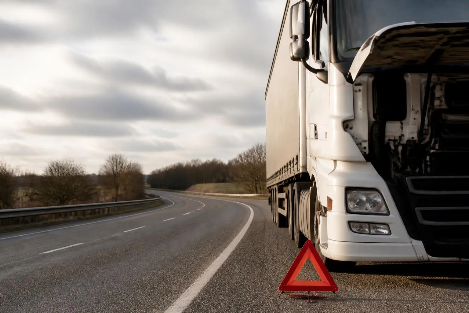
When an HGV breaks down, delay usually comes from basic uncertainty. The driver is safe but cannot describe the exact location, the transport office is relying on a phone call made under stress, recovery is asking which carriageway the vehicle is on, and the customer wants an ETA before anyone can give one with confidence. That is where tracking earns its keep. Used properly, it cuts out the guesswork in the first few minutes and gives the office something solid to work from.
Using vehicle tracking when an HGV breaks down does not replace the driver’s own safety steps, and it does not make every diagnosis obvious. A GPS position can drift in tunnels, deep cuttings and some yards, and not every unit reads fault information from the vehicle. But if your office can see live location, heading, recent movement, ignition events and, where fitted, CAN data, you can move much faster from “where are you?” to knowing that 24-hour HGV roadside assistance is on the way, the customer has been updated, and we know what we are dealing with.
What the transport office needs in the first few minutes
The first breakdown call should be short, structured and practical. Before anyone starts debating likely causes, we need five things confirmed.
First, is the driver safe. On a motorway or high speed road in the UK, that means following the company breakdown procedure, stopping in the safest available place, using hazard warning lights, and contacting emergency services if there is immediate danger. Tracking supports this, but it does not replace it.
Second, where the vehicle is. A driver may say “just past junction 24” or “near the RDC”, but the office needs a position that recovery can use. The tracker should give a map point, nearest road, and a recent breadcrumb trail showing the approach. If the unit is still reporting, we can usually confirm whether the HGV is on the motorway itself, on the slip road, in a services area, or on a parallel local road that sounds similar over the phone.
Third, which direction of travel matters. “M6 near Stafford” is not enough. We need northbound or southbound, or for an A-road, the carriageway and direction towards the next town or junction. A live tracking view and the last movement line usually answer that immediately. If the vehicle has already stopped transmitting movement, the last few position points still show the approach direction.
Fourth, what the vehicle was doing just before it stopped. Was it cruising at road speed, slowing gradually, stationary for a delivery, or repeatedly stopping and moving in a queue? Last speed and recent status help separate a roadside failure from a loading issue, site delay or driver break. That matters because the next action is different.
Fifth, whether the ignition is on or off, and whether the unit is still powered. An ignition event can tell us if the engine cut out, if the driver has attempted a restart, or if the vehicle has been left powered down awaiting assistance. If the tracker goes quiet altogether, that can point to a vehicle electrical issue, a loss of tracker power, or simply poor signal in the location.
In practice, the transport office should have a breakdown checklist alongside the tracking screen. We work best when the call handler confirms the driver’s verbal description against the map, notes the exact time of the stop, checks the last reported speed, and records whether the ignition remains on. That gives recovery a cleaner handover and avoids three separate calls asking the same questions.
For operators reviewing whether their current setup gives enough visibility at this point, our guide to choosing HGV tracking that cuts blind spots covers the parts of a tracking setup that matter in day to day transport use, not just a dot on a map.
Turning GPS data into a recovery-ready location
A map pin is useful, but recovery normally needs a location description that a controller can pass straight to a patrol or heavy recovery unit. The office should turn the raw GPS position into a practical roadside description.
On a motorway, that usually means:
- motorway number
- carriageway direction
- nearest junction number, and whether the vehicle is before or after it
- nearest marker post or emergency area if known
- whether the vehicle is on the hard shoulder, in an emergency area, on a slip road, or in services
- any obvious access constraint, such as lane closures or roadworks visible from the driver or from traffic information
For example, “M1 northbound, just after J29, on the hard shoulder, near marker post 129.4” is far more useful than “M1 near Chesterfield”. If the driver can see a marker post or sign, we match that against the tracking map and breadcrumb trail. If not, the map position still usually lets us identify the nearest junction and whether the stop is before or after it.
On an A-road, the same principle applies, but we often need landmarks because junction numbering may be less clear. A usable description is the road number, direction of travel towards the next town, nearest roundabout or major junction, and whether the vehicle is in a lay-by, verge, live lane closure area or site entrance. If dual carriageways are involved, specify the side.
Large logistics sites create a different problem. The GPS point may place the HGV somewhere inside a very large premises, but recovery needs the gate, yard, bay area or access road. This is where the office should not just read out coordinates. We use the site name, exact gate or entrance, the internal road if known, and whether the vehicle is blocking a lane, parked on a bay, or stranded in a trailer park. On some sites, the nearest public road is not the right access point for a recovery wagon at all.
This is where map layers matter. A platform that uses OpenStreetMap alongside live breadcrumbs can help identify internal estate roads, yard layouts and access points that a basic road map may not show clearly. It is still worth confirming with the driver, because site naming on the ground does not always match what appears on the map.
There are limits. In tunnels, under heavy cover, between high buildings or in deep cuttings, GPS can drift. The fix may lag by a few seconds or place the vehicle slightly off the carriageway. We treat the map point as a strong indicator, then sense check it against direction of travel, last speed, and the driver’s own description. Recovery does not need perfection, but it does need a location that gets the right vehicle to the right side of the road first time.
What tracking can tell you about the breakdown itself
Tracking rarely gives a full workshop diagnosis, but it can tell us a lot about the circumstances of the failure.
Start with the last speed profile. If the HGV was running steadily at road speed and then drops abruptly to zero in a place where stopping is unusual, that points towards a mechanical or electrical issue rather than a planned stop. If speed falls away gradually over a longer distance, the driver may have had enough warning to limp into a safer area. If the vehicle had already been stationary for some time at a customer site, the “breakdown” may have appeared on attempted restart rather than during travel.
Then look at stop history. Repeated short stops before the final stop can suggest an intermittent issue, such as loss of power, overheating, air pressure trouble, or an electrical fault that temporarily clears on restart. A clean uninterrupted run followed by one final stop suggests something more sudden.
Ignition events add another layer. If the ignition remains on after the stop, the driver may be trying to maintain electrics while waiting. Multiple on-off cycles shortly after the breakdown can indicate repeated restart attempts. If the tracker loses power at the same moment as the stop, that can point to a battery isolation issue, main power loss, or tracker wiring losing supply along with the vehicle.
Where the unit supports vehicle integration, CAN data can help further. Depending on the vehicle and installation, we may see engine status, battery voltage, coolant temperature or other operating values. Some setups can also surface fault-related information, but this is not universal. It depends on the tracker, the vehicle, the protocol available and how the installation has been configured. We should be honest about that. Not every tracker reads fault codes, and not every HGV exposes the same information in a useful way.
Even without full diagnostics, a few live values can change the response. Low voltage can point the conversation towards electrical supply. High temperature before the stop may support an overheating report. Engine on or engine off status can confirm whether the vehicle is still running but immobilised for another reason.
If you also run Smart dashcams, it helps to link the event timeline with camera footage where appropriate. A quick look can confirm whether the vehicle coasted to a halt, whether there was smoke or debris, or whether the stop followed an external incident. We covered the operational side of that in how to link tracking and dash cam footage properly.
The point is not to turn the transport office into a workshop. It is to give recovery and maintenance a better starting brief. “Vehicle lost power on A14 eastbound, speed dropped from 54 mph to 0 over two minutes, three restart attempts, ignition now off, tracker still powered” is far more useful than “driver says it has broken down”.
How to update customers without exposing driver data
Customers usually need two things during a breakdown. They want to know whether the load will still arrive, and if not, when they can expect the next update. They do not need the driver’s personal details, phone number or a full internal event log.
The cleanest approach is to separate internal visibility from external visibility. Internally, the transport office sees the full live vehicle record, route history and event timeline. Externally, the customer gets only what is necessary for service communication, such as a revised ETA, a delayed arrival window, or a controlled live position view for that job.
That controlled view matters. If you share a live link, it should be tied to the vehicle or consignment movement, not to the driver as a person. No personal mobile number, no unnecessary identity details, and no broader access to the rest of the fleet. A Customer Portal approach works well because it keeps the customer inside a limited view built for updates rather than exposing operational screens.
In practice, we suggest three levels of update:
- a simple service message, such as “vehicle delayed due to breakdown, next update at 10:30”
- a revised ETA based on current location, recovery status and onward plan
- a controlled live position or journey status view where the customer genuinely benefits from seeing movement resume
The transport office should also think about what not to share. A stationary vehicle on a roadside for two hours can create unnecessary pressure if the customer sees every minute but has no context. In many cases, a managed ETA is better than a raw live map until recovery is in attendance and a realistic plan exists.
This also sits alongside compliance and data discipline. In the UK, fleet operators need to handle personal data carefully, especially where a driver can be identified from context. A vehicle registration on its own may still be enough for some customers to identify the individual driver on a dedicated route. That is why access control and limited views matter.
Where operators are trying to bring tracking, reporting and customer updates into one working routine rather than separate tools and spreadsheets, our fleet software options for transport operations show how we approach joined-up visibility across mixed commercial fleets.
Using breakdown history to spot repeat problems
The immediate incident matters, but the real saving often comes afterwards. One breakdown may be bad luck. Three similar breakdowns on the same unit, route or operating pattern usually tell you something useful.
Start by reviewing incidents by vehicle. Are the same registrations repeatedly suffering roadside failures, low voltage events, overheating patterns or no-start incidents after site dwell time? If so, that points towards a maintenance conversation, not just a recovery bill. A history view tied to each vehicle makes this much easier than relying on workshop memory.
Then look by route. If breakdowns cluster on a particular corridor, ask why. Long uphill sections, stop-start urban work, repeated idling, rough site access, or poor fuelling discipline can all show up indirectly through incident patterns. You may find that one contract is exposing a weakness in cooling, batteries or suspension more quickly than your general fleet work.
Site-based review is just as useful. Some logistics premises create repeated problems because of long waiting times, queueing, tight manoeuvring, harsh speed humps or poor trailer surfaces. If several incidents begin after extended dwell at the same site, there may be an operational fix, such as revised arrival timing, different parking practice, or a discussion with the customer about access and waiting arrangements.
Operating pattern matters too. Compare trunking units with urban multidrop work, night work with day work, and vehicles doing frequent engine-off loading cycles with those running longer continuous legs. The pattern around the failure can be as revealing as the fault itself.
This is where Fleet insight becomes practical rather than abstract. We are not looking for vanity reports. We want a simple breakdown review that asks:
- which vehicles fail most often
- where they fail
- what they were doing beforehand
- whether the same type of event repeats
- whether the issue is linked to a route, site, shift pattern or vehicle type
If the answer points to a hardware limitation, installation quality or missing data source, it may be time to review the tracking estate itself. Some operators start with basic units and later move to Fleetalyse-ready trackers or selected Teltonika devices where they need better data capture, broader vehicle coverage or a more standardised rollout across HGV, van and trailer assets. Hardware choice, Tracker login access, IoT SIMs reliability and the availability of CAN data all affect what your office can actually see when something goes wrong.
Breakdowns also need to be reviewed alongside the wider operating picture. Driver scheduling, Tachograph records and driver hours do not diagnose faults, but they do help explain the context around delays, restart decisions and whether the original plan left enough margin to recover the job. For mixed fleets, that joined-up view is often more useful than one more standalone report.
The main point is simple. If tracking only helps you find the vehicle once, you are using only part of its value. The history should feed back into maintenance planning, route review, customer discussions and equipment decisions so the same breakdown does not keep happening in the same way.
When an HGV breaks down, the fastest offices are the ones that can move from a stressed phone call to a verified location, a sensible technical brief, a controlled customer update and a usable incident record. That is what good tracking supports. At Fleetalyse, we build for that operational reality, so the live map, event history and reporting all help the transport office make better decisions in the moment and after the vehicle is back on the road.
Can tracking replace the driver’s own breakdown procedure?
No. Tracking helps the office see where the vehicle is and what happened around the stop, but it does not replace the driver’s safety steps, reporting or roadside procedure.
How accurate is a tracked breakdown location?
Usually good enough to narrow the location quickly, but GPS can drift in tunnels, cuttings, dense yards and built-up areas. Always sense-check it with the driver and the road context.
Will every tracker show engine faults or fault codes?
No. Some installations can read engine or vehicle data, including CAN data, but many tracking setups only provide position, movement and ignition information.
What should recovery be told on a motorway breakdown?
Give the carriageway, direction of travel, nearest junction or marker post, whether the vehicle is on the hard shoulder or a live lane, and the safest access point you can confirm.
Can a customer be shown the vehicle location during a breakdown?
Yes, if you share only what they need, such as a live position or ETA. Avoid exposing driver details or wider fleet data when sending updates outside the business.