
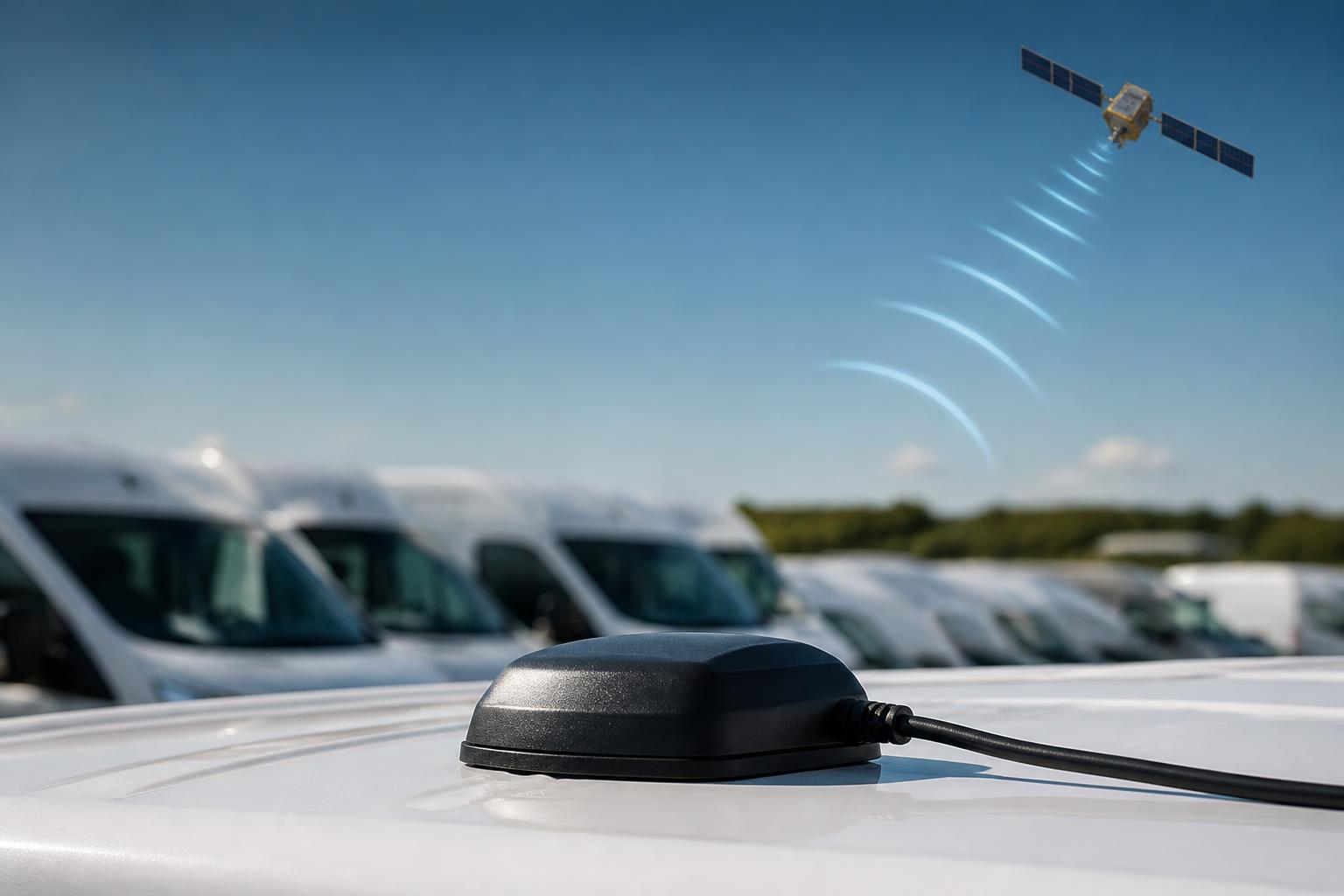
If you are asking how GPS trackers work in day-to-day fleet use, the short answer is this. A tracker in the vehicle works out where it is, combines that with time, speed, movement and other available vehicle inputs, then sends the information over the mobile network to a fleet platform. From there, the office can see live positions, route history, alerts and reports in a form that helps with actual transport decisions.
That matters because a pin on a map is only the starting point. In a working fleet, what operators really need is usable visibility. Which vehicle has arrived. Which one is idling. Whether a trailer has moved out of hours. Whether an HGV can make the next timed slot. Whether the Tachograph and tracking picture broadly match what the planner thinks is happening. Good tracking turns raw location data into day-to-day control.
What a GPS tracker actually does
A GPS tracker has two main jobs.
First, it determines the vehicle or asset location. Second, it sends that information into a system where people can use it. On its own, the tracker is a hardware device. The useful part for operations is what happens after the device has collected the data.
That is why the question is not only how do GPS trackers work, but how they fit into fleet workflows. A basic consumer tracker may tell you where something is. A commercial fleet tracker should also support the routine questions transport teams deal with every day, such as:
- Is the vehicle moving, stopped or idling?
- When did it arrive on site?
- What route did it take?
- Has it left a geofenced area?
- Is power disconnected?
- Is this usage in hours we would expect?
- Can we match this with job timing, driver activity or vehicle exceptions?
In practical terms, a tracker records position fixes over time. Those fixes become journey history. The platform then turns that history into map views, stop reports, utilisation reports, alerts and other operational views.
Some devices do more than pure location. Depending on the hardware and installation, they can also read ignition status, detect harsh events, monitor power state, or pull CAN data from the vehicle. That gives a fuller picture than location alone, especially in mixed fleets where vans, HGV units, trailers and plant may all need different levels of visibility.
How a tracker gets location data
GPS tracking starts with satellite positioning. The tracker has a GPS receiver inside it. That receiver listens for signals from navigation satellites and uses timing information to calculate where the device is on the ground.
In plain terms, the tracker is not sending signals up to the satellites to ask where it is. It is receiving timing signals from them, then calculating its own position. To get a reliable fix, it normally needs a clear enough view of the sky and enough satellite data to resolve location accurately.
Several things affect how well this works in real fleet conditions.
The first is installation position. A tracker hidden under metalwork, behind signal-blocking materials or in a poor mounting location may take longer to fix or may report less accurately. Proper commercial installation matters, especially in vehicles with heated screens, dense cab structures or specialist bodywork.
The second is environment. Urban canyons, covered loading bays, underground parking, ferries, tunnels and dense industrial sites can all affect signal quality. A vehicle may continue moving while the GPS position updates less cleanly, then recover once it returns to open sky.
The third is update settings. Trackers do not all send data at the same interval. A fleet may choose more frequent updates for high-control operations and less frequent updates for low-use assets where battery life or data usage matters more. Some devices report by time interval, some by distance moved, some by ignition state, and many use a combination.
The fourth is the quality of the hardware itself. Commercial units are designed to keep producing usable data in vibration, temperature change and long working hours, not just occasional private use.
Accuracy in normal road use is usually good enough for fleet control, but no GPS system should be treated as perfect to the exact metre at all times. A position on a map is an operational indicator, not a legal survey instrument. That is important when interpreting site arrivals, depot boundaries or short stops near adjacent roads.
It also helps to remember that live tracking is never literally instantaneous. There is always a chain of events, position fix, device processing, mobile transmission, platform update and screen refresh. In a well-set-up system this is quick enough for dispatch and visibility, but it is still a live data service, not a magic real-time video feed.
If you want a deeper look at the connectivity side, our guide on how IoT SIMs keep fleet tracking working on the road explains why network resilience matters as much as the tracker itself.
How data gets from the vehicle to the office
Once the tracker has location data, it needs power, onboard processing and a communications route back to the office.
Most hard-wired vehicle trackers are connected to the vehicle electrical system. That gives them a stable power source and allows them to detect events such as ignition on and off. Some installations also include backup battery support inside the device, so the tracker can still report tamper or disconnection events for a period if main power is cut.
Inside the unit, the tracker stores and processes data points. If mobile coverage drops, a good device will usually buffer records and forward them when the signal returns, rather than simply losing the trip record.
To send data back, the tracker uses a mobile connection through IoT SIMs. These SIMs are intended for machine-to-machine communication rather than normal handset use. In fleet terms, that means the tracker can send regular packets of data from the road into the software platform without relying on a driver phone or separate in-cab action.
The transmitted data can include:
- GPS position
- Time and date
- Speed
- Heading
- Ignition status
- Power events
- Inputs from sensors or peripherals
- In some setups, CAN data or other vehicle signals
That information reaches the cloud platform, where it is processed and displayed through the fleet software. In our setup, operators can view this through Fleetalyse, bringing tracking together with other operational tools instead of splitting them across separate systems.
The mapping layer itself is only one part of the chain. A map, whether based on OpenStreetMap or another source, is simply the visual surface. The real operational value sits underneath, in the event handling, reporting logic, alerts, driver and vehicle records, and how the platform ties those together.
This is also where hardware choice matters. Some operators want a straightforward rollout using Fleetalyse-ready trackers so devices are prepared to work with our platform from the outset. Others want unlocked Teltonika hardware because they already know the device family they need, or because the fleet has more bespoke installation requirements. Both routes can work well, but they suit different procurement and support models.
What fleet managers can see once tracking is live
Once tracking is active, the office stops relying on phone calls, rough ETA estimates and handwritten notes to understand where vehicles have been.
The most obvious view is the live map. This shows current positions, movement status and often the latest update time for each unit. For a transport desk, that supports immediate decisions such as reallocating work, checking likely arrival order, or seeing whether a delay is traffic, loading time or a missed route.
Journey history is usually where the value becomes clearer. Instead of only seeing where a vehicle is now, the fleet team can review where it went, when it stopped, how long it remained there and the route taken between jobs. That helps with customer queries, internal disputes, missed collections, route checking and proof of attendance.
Alerts are another day-to-day tool. Common examples include:
- entering or leaving a geofence
- movement out of hours
- power disconnection
- low battery on an asset tracker
- prolonged idling
- speeding events
- missed check-in patterns on expected routes
Reports then turn all of that into something managers can use over time. Typical reports include mileage, utilisation, stop duration, first movement, last movement and idle time. In a mixed fleet, those reports can answer practical questions such as whether a van is underused, whether a trailer is sitting too long at a customer site, or whether a unit regularly loses time at a known bottleneck.
This is where Fleet insight matters. It is not just seeing dots move. It is being able to compare activity across vehicles, drivers, routes and operating days in a way that supports planning and accountability.
Tracking data is also useful outside transport planning. Workshop teams may use mileage visibility to support service scheduling. Managers may compare location history against fuel use, route design or recurring downtime. If your focus is reducing lost working time, our article on how to cut vehicle downtime across a working fleet looks at where this kind of visibility helps most.
For customer-facing operations, journey records can support service conversations as well. If a consignee disputes timing, the office can check actual arrival and departure windows rather than trying to reconstruct the day from memory.
Where GPS tracking fits with compliance and safety
GPS tracking helps with compliance and safety, but it is important to be precise about what it can and cannot do on its own.
Tracking gives visibility of movement, location and vehicle use. That can support checks around working patterns, route adherence, depot departures, weekend movement and other exceptions. It also helps identify whether a vehicle appears to be active when it should not be, or whether usage matches what has been planned.
For HGV operations, though, GPS is not a substitute for Tachograph records. Driver activity rules are governed by Tachograph data and the legal framework behind it, not by map movement alone. In the UK, retained drivers' hours rules and Tachograph requirements broadly follow the established framework, but operators should always work to the current UK rules rather than assume an EU-wide explanation applies unchanged.
So where does tracking fit? It provides context.
If a planner sees a vehicle still moving late in the day, that prompts a check. If a route looks longer than expected, tracking helps explain where time was spent. If the office needs to compare planned work with actual movement, tracking gives the operational picture around the formal Tachograph record.
That is especially useful when tracking is combined with remote Tachograph downloads and driver hours visibility in one place. It means the transport office is not trying to compare separate spreadsheets, card download folders and map systems by hand. For a detailed look at the legal side of time calculation, see our guide on how to calculate legal driving time without guesswork.
Safety works in a similar way. GPS can show speeding events, harsh driving patterns if the hardware supports it, and where incidents occurred. But it does not show what happened in front of the vehicle. That is where Smart dashcams come in. When connected into the same operating view, dashcam footage and event data can support incident review, driver coaching and claims handling far better than location alone.
Tracking can also support policies on vehicle use at work. In the UK, employers need a clear lawful basis, proper staff information and proportionate use of tracking data. If you are reviewing policy as well as hardware, our article on UK rules on vehicle tracking at work covers the points operators should set out clearly.
What to check before choosing a tracking setup
Before choosing a system, start with the fleet you actually run, not the feature list with the most boxes ticked.
First, check the hardware fit. A van fleet, an HGV fleet and a trailer fleet do not usually need identical devices or installation methods. Some vehicles need simple live tracking. Others need deeper integration, driver identification, CAN data, or support for related peripherals.
Second, check installation and support. Ask where the unit will be mounted, how it is powered, whether tamper alerts are available, and how offline periods are handled. For working fleets, reliable installation is more important than theoretical features that are never configured properly.
Third, look at reporting and operational views. Can the platform show live maps, route history, stop analysis and alerts in a way that your transport desk will genuinely use? Can it support mixed fleet visibility rather than forcing separate systems for vans, HGV units, trailers and cameras?
Fourth, think about compliance workflow. If you already manage Tachograph downloads, driver files and incident review, ask whether the tracking setup can sit alongside those in one platform. That is often where operators save time, not by having more data, but by reducing the number of places they need to look.
Fifth, decide how open you want the hardware route to be. Some buyers want Fleetalyse-ready trackers so deployment is straightforward and the devices are prepared for our platform from the start. Others prefer unlocked Teltonika hardware because they want that flexibility within their own procurement or installer arrangements. We support both approaches, and we can help plan a customised rollout where the fleet is more complex.
Finally, check the account and commercial side. If you are ordering online hardware or services, understand what is included, how VAT is handled, what access is provided in the Customer Portal, and whether there is a separate Tracker login for device-level management. Where online payment applies, services may use Stripe for secure transaction handling, but operational setup still needs the right fleet configuration behind it.
For UK operators who want one place to manage tracking, Tachograph visibility, cameras and reporting, that joined-up view is often the real difference. It is why we build Fleetalyse around practical transport control rather than treating GPS as a standalone gadget.
If you want to review tracker options in more detail, our guide on how to choose a tracker that works for daily fleet control is a good next step.
Fleet tracking works best when it reflects real operating conditions, loading delays, handovers, mixed assets, mobile coverage gaps and compliance checks included. That is the standard we work to at Fleeta Limited T/A Fleetalyse, because the question is never only where the vehicle is. It is whether the office can use that information to run the fleet properly.
Do GPS trackers need a mobile signal to work?
They need satellite signals to calculate position and a mobile network to send that data back to the platform. If mobile coverage drops, many units store data and upload it later.
Are GPS trackers accurate enough for commercial fleets?
In normal conditions, yes. Accuracy can vary with buildings, tunnels, weather and device placement, but modern units are generally accurate enough for routing, proof of movement and operational visibility.
Can a GPS tracker show driver behaviour?
A tracker can help show speeding, harsh events, idling and journey patterns when the hardware and settings support it. Broader driver context may also come from CAN data or Smart dashcams.
Will a tracker drain the vehicle battery?
A properly specified and installed unit is designed for vehicle use and should not cause battery issues in normal operation. Power management matters more on low-use vehicles or assets left standing.
Is GPS tracking the same as Tachograph monitoring?
No. GPS tracking shows location, movement and vehicle activity. Tachograph systems deal with driver hours and compliance records. Many operators want both visible in one place.